

Aerospace

Agriculture & Biosystems

Biomedical

Chemical

Civil

Computer Science

Electrical

Environmental

Industrial

Manufacturing

Materials Science

Mechanical
Mining & Metallurgical

Nuclear
Petroleum

Project Management
Surveying
Discover Surveying
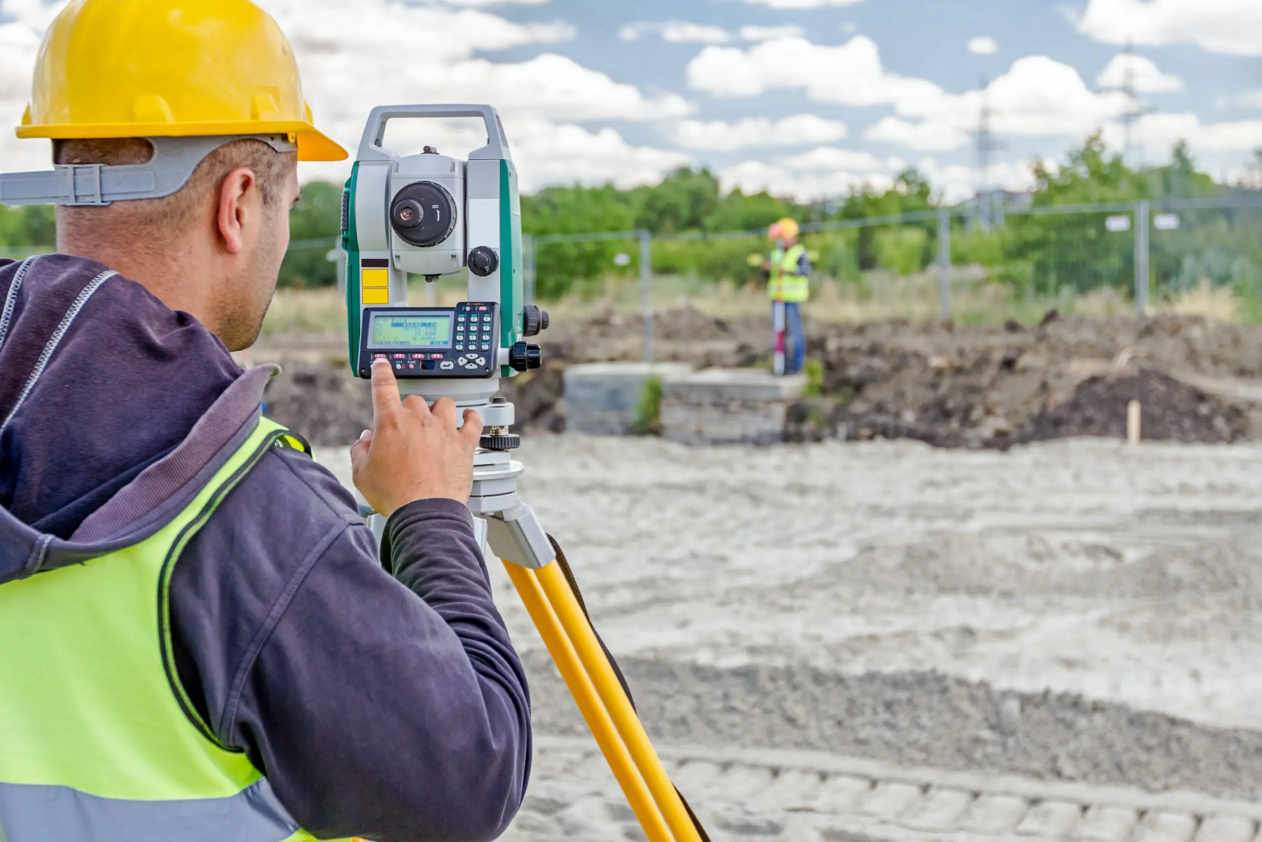
What Does a Surveyor Do?
Imagine being the person who figures out exactly where a new school should be built—or where one property ends and another begins. Or using high-tech tools and drones to map land, forests, and even entire cities. That’s the kind of real-world impact surveyors make every day.
Surveyors measure and map the land around us to help plan and build everything from homes and roads to bridges and power systems. They collect precise data about distances, elevations, and boundaries, making sure projects are built in the right place and at the right scale. Working both outdoors and with advanced technology, surveyors turn raw land into usable information that engineers, architects, and builders rely on. From marking property lines to mapping major infrastructure projects, surveyors are the problem-solvers who help every project start on solid ground.
Meet the Change Makers Who Are Surveyors!
Surveying Career Overview1

$72,740
Median salary

56,100
Number of jobs in 2024

4%
Job growth over next 10 years
Surveying Jobs and Education
Bachelor’s Degree
- Pilot a drone and use advanced mapping tools to create high-resolution maps and 3D models to assess damage after a natural disaster.
- Use GPS sensors and laser scanners to monitor and detect any changes in land movement or structural shifts to quickly address any issues.
- Stake out locations for new construction projects to mark the exact placement of structures, roads, utilities, and flood-control features.
- Lead a survey crew and manage timelines for large projects like a solar farm, airport expansion, or new transit system.
- Work with design engineers and architects on large scale infrastructure projects and land development sites.
Associate Degree
- Assist with mapping rivers, shorelines, or areas prone to flooding to help guide where homes can safely be built.
- Build 3D models of land for projects like parks, campuses, or new housing developments.
- Research land records, deeds, and historical maps to settle land ownership questions or support real estate development projects.
High School Diploma/GED + Certification
- Assist survey crews with equipment setup, measurement, and field data collection for projects like new schools, roads, or utility installations.
- Operate GPS, drones, and laser scanning equipment to capture precise land measurements for construction sites, coastlines, or disaster areas after storms.
Real World Surveying Projects

Surveyors Using Drones to Map Landslides and Reopen Roads
When a landslide blocked a major highway in Hawaii, it wasn’t just construction crews who rushed in—surveyors played a critical role in helping reopen the road safely. In a recent project along the Pali Highway on O‘ahu, surveyors used drones and advanced mapping tools to quickly capture detailed images of the damaged area. Instead of spending days climbing unstable terrain, they flew drones over the site to create high-resolution maps and 3D models of the landslide. This enabled them to plan how to safely remove over 30 truckloads of mud and debris and to prevent further slope collapse while crews worked. Learn more.



References:
1. US Bureau of Labor Statistics
https://www.bls.gov/ooh/architecture-and-engineering/surveyors.htm